Geographic Innovations for Development Solutions, Inc. (GRIDS) provides technology-driven solutions to support sustainable development and informed decision-making.
90+
Mapping better decisions
For over a decade, GRIDS has delivered GIS, digital platforms, and data-driven solutions that support environmental protection, climate resilience, and smarter governance.
Training
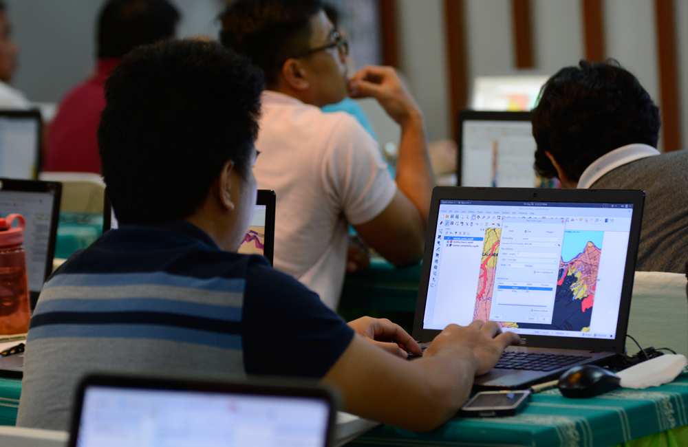
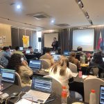
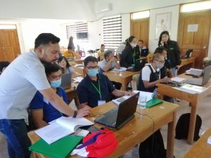
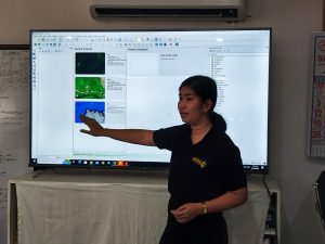
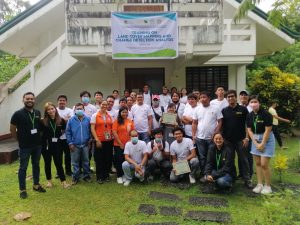
Geographic Information System (GIS) Basic and Advanced
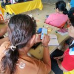
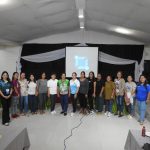
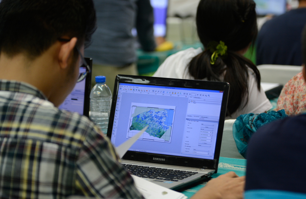
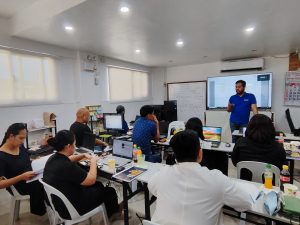
The Basic and Advanced Geographic Information Systems Training is developed for professionals and students who are interested to either jumpstart their career in the field of GIS or simply wanted to upskill and be abreast with current developments in mapping and use of GIS.
As a two-day event, GIS training is packed with hands-on experience-based and industry-relevant information that is definitely made easier to follow and complete. The training includes an assessment that leads to a GRIDS certificate or a QGIS-verified certificate.
Student
per training
₱ 0
For starters with zero knowledge on GIS Individuals who are interested to learn about GIS Professionals aiming to upskill with GIS Students who need GIS for research and school work
For those with intermediate experience in GIS or completers of Basic GIS Professionals who want to refresh their knowledge on GIS Individuals who want to update their skills on QGIS Technicians who wants to learn GIS for specific uses
Training offerings are available through online platform. To know more details, email us at grids.inc.ph@gmail.com or message us on Facebook Messenger.
Environmental & Development Studies
Environmental Impact
Assessment (EIA)
Economic valuation
Vulnerability and Adaptation Assessment (VAA)
Climate and Disaster Risk Assessment (CDRA)
Comprehensive Land Use Plans (CLUP)
Local Climate Change Action Plan (LCCAP)
Comprehensive Development Plan (CDP)
Forest Land-use Plan (FLUP)
Ecotourism Master Planning
Watershed management plan
Biodiversity Assessment
Watershed Characterization and Vulnerability Assessment (WCVA)
Climate Risk Vulnerability Assessment (CRVA)
IT and Application Development
Database management
Website Development
Custom software development
Geospatial Services
Mapping using GIS and Remote sensing
LiDAR data processing
Resource surveying
Modeling (i.e., Hydrologic, Fire)
Tax mapping
Capacity Buildings
GIS training (Basic & Advance)
Training in remote sensing
Flood Modelling training
AutoCAD training
Refresher courses (Forestry and Environmental Planning)